GEOPARK MUSEUM
Geopark Museum

FEATURED TOURISM


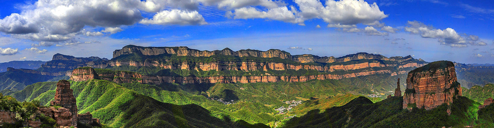

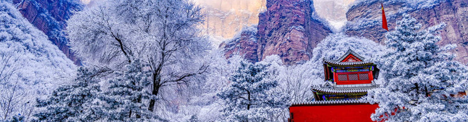
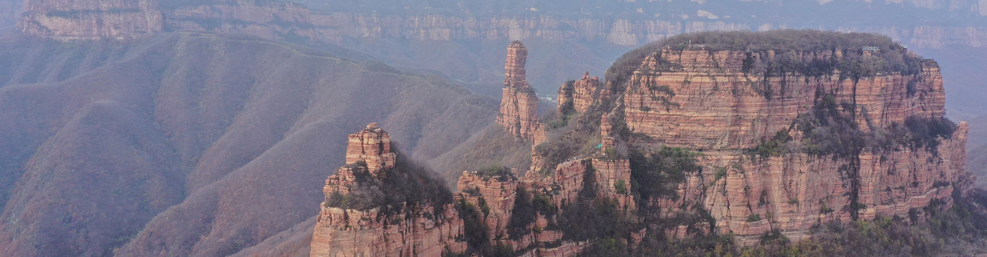
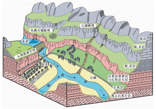
The Zhangshiyan landform is a non-renewable geological natural heritage formed, developed, and preserved over the long geological history of Earth’s evolution under the influence of various internal and external geological processes. Geological structure is the material basis for the formation of the Zhangshiyan landform, while endogenic and exogenic geological processes are the driving forces behind its formation and development.
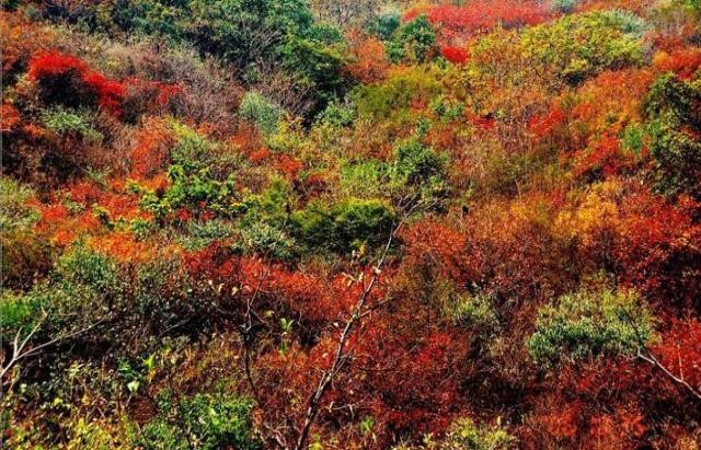
Qipanshan ranges from an elevation of 420 m to its highest peak at 1,340 m, with a relative elevation difference of more than 900 m. The vertical distribution of vegetation can generally be divided into three zones:
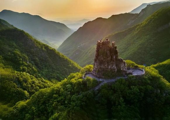
Zanhuang County has maintained a sound natural ecological environment, with lush and magnificent mountains, clear and winding streams, pristine natural scenery, and numerous rare species. It is rich in animal and plant resources, with abundant rainfall, a pleasant climate, and a forest coverage rate of 49.1%. In its deep mountainous areas, the forest coverage rate exceeds 90%. Zanhuang County has successively been recognized as one of the sixth batch of national practice and innovation bases for
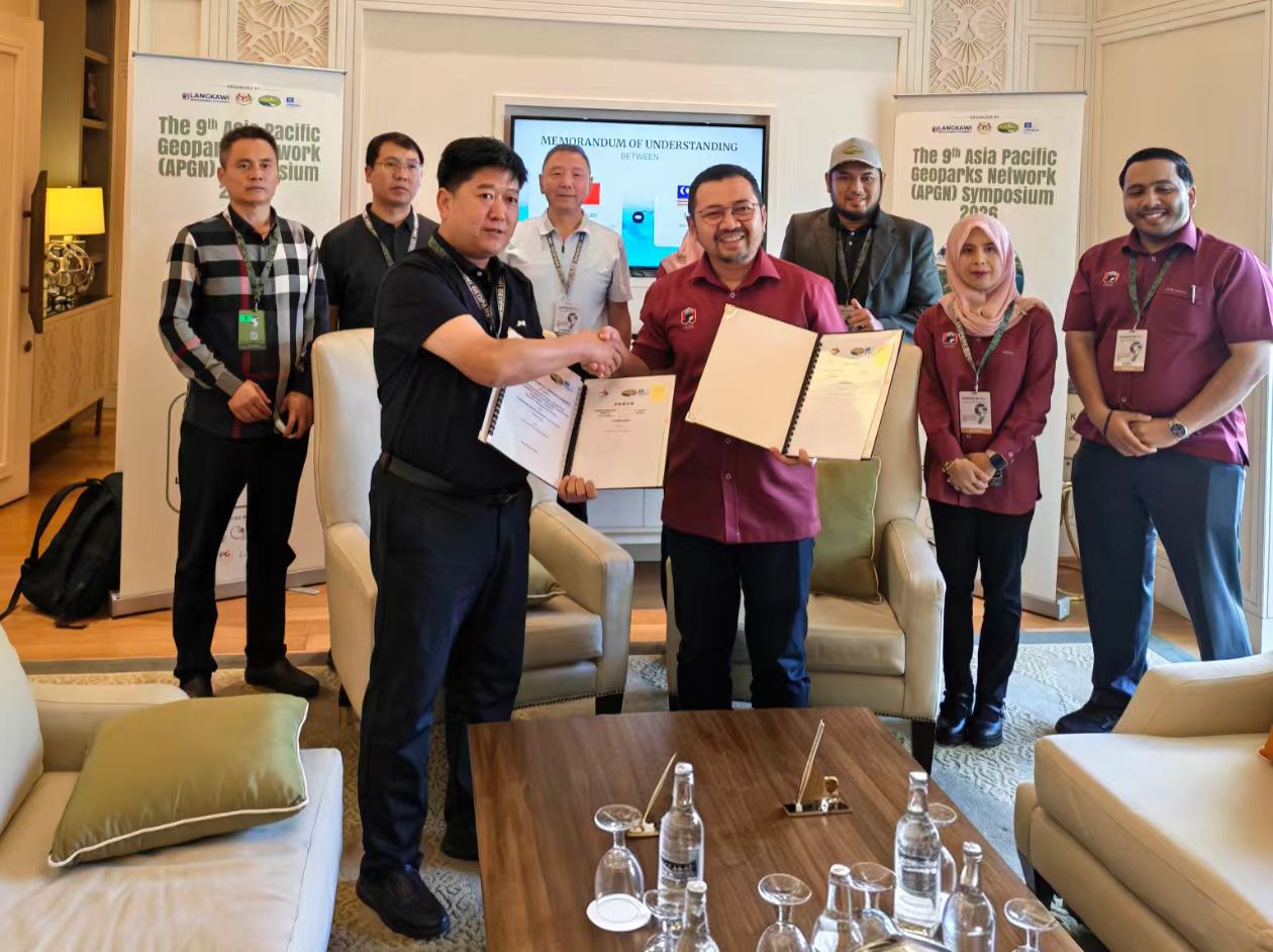
On September 9, at the 9th Asia-Pacific Geoparks Network Symposium, Zanhuang Geopark of China and Langkawi UNESCO Global Geopark of Malaysia officially signed a sister park cooperation agreement, marking the establishment of a long-term friendly cooperative relationship between the two sides and opening a new chapter in cross-border collaboration between a Taihang Mountain-type geopark and a coastal island-type geopark.
According to the Zanhuang County Annals, during the Western Zhou Dynasty, King Mu of Zhou, Ji Man, “arrived at Fangzi on the Guichou day and climbed Cuan Mountain.” Legend has it that when King Mu of Zhou was fighting against the Quanrong, the Quanrong army was stationed around the Zhangshiyan area
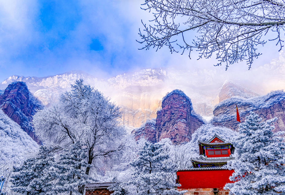
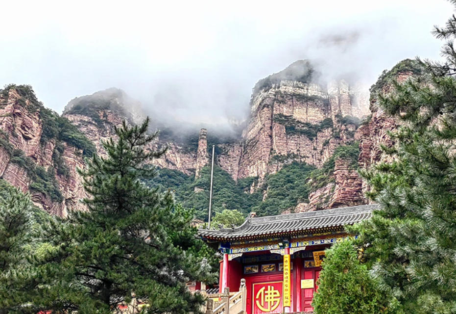
So why is it called Zhihutao? Because of its steep mountains and overlapping peaks, it was once called Zhigutao, meaning a place as solid as a fortress. Now, please look to the right in the direction of my hand.
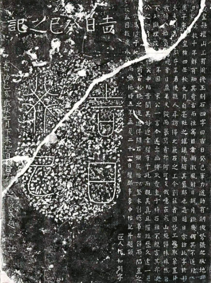
This stone stele was composed and written by Qiao Yu, former Minister of Rites and Minister of War in Nanjing, in the sixth year of the Jiajing reign of the Ming Dynasty (1527), more than 470 years ago. The stele is 3.55 meters high and 1.2 meters wide
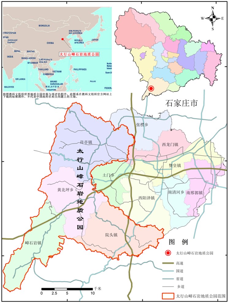
The park is located in Zanhuang County, Shijiazhuang City, Hebei Province, People’s Republic of China, Asia. Its administrative area covers four townships: Zhangshiyan Town, Xuting Town, Yuantou Town, and Huangbeiping Township, with a total area of 451.6 square kilometers. The park borders Xiyang County of Shanxi Province to the west, Jingxing County and Yuanshi County to the north, Zhangleng Township, Zanhuang County seat, Nanqinghe Township, and Xiyangze Township of Zanhuang County to the east, and Lincheng County and Neiqiu County of Xingtai City to the south. It is approximately 380 kilometers from Beijing, the capital of China, and about 90 kilometers from downtown Shijiazhuang, the capital of Hebei Province.






All Rights Reserved © Taihang Mountain Zhangshiyan Geopark 备案号:冀ICP备2025113348号-1